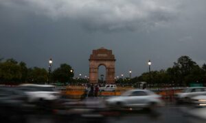
India is expected to receive above normal rainfall in September, the India Meteorological Department said on Sunday.
The weather agency said that above normal rainfall exceeding 109% of the long period average is most likely across the country.
The long period average is the measure of the mean rainfall during the four-month monsoon season over the last 50 years. The long period average of rainfall for August and September, based on data from 1971 to 2020, is 422.8 mm.
The agency also said while most parts of the country are likely to receive normal to above normal rainfall in September, some parts of the North East and eastern India, many areas of the extreme south peninsular India and some regions of northernmost India are likely to receive below-normal rains.
The IMD further said that neutral El Niño-Southern Oscillation conditions prevail over the equatorial Pacific Ocean. These conditions are likely to persist through the remainder of the monsoon season, according to the Monsoon Mission Climate Forecast System and other models.
The Indian Ocean Dipole is currently neutral but is expected to turn weakly negative by the end of the season.
The El Niño Southern Oscillation is a recurring climate pattern involving changes in the temperature of waters in the central and eastern tropical Pacific Ocean. These phases play a significant role in shaping India’s monsoon.
The Indian Ocean Dipole is the difference in the sea surface temperatures between the western parts of the Indian Ocean near Africa and the eastern parts of the ocean near Indonesia.
Neutral conditions, as currently prevailing, are generally favourable for normal monsoon activity, allowing local weather systems to function without major disruption from ocean temperature anomalies.
At a press conference on Sunday, IMD Director-General Mrutyunjay Mohapatra said that there is no “increasing trend” in “cloudbursts” in India in recent years and that the incidents are “impossible” to forecast, The Hindu reported.
However, there has been an increase in “mini cloudbursts”, he added.
Mohapatra added that the IMD had a strict definition of a “cloudburst”, which was 10 cm of rain or more in an hour over 20 sq km to 30 sq km. He added that “mini cloudbursts”, or 5 cm of rain per hour, were on the rise.
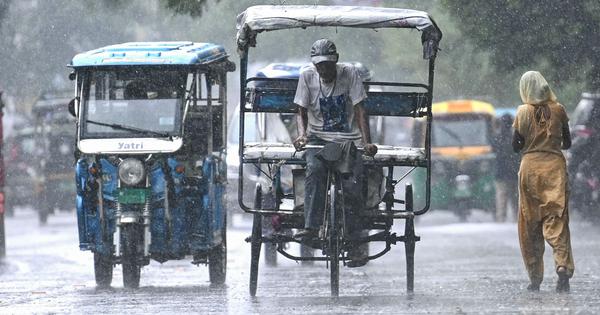
His statement came amid heavy rainfall and a series of cloudbursts triggering flash floods and landslides in several states in recent weeks, leading to several deaths.
The IMD also said that June, July and August had seen above normal monsoon rainfall so far, which was in line with what the weather agency had forecast in May.
August rainfall highest since 2001
The IMD also stated that northwestern India recorded 265 mm of rainfall in August, which was the highest for the month since 2001 and 13th since 1901, PTI reported.
Rainfall in June was 111 mm, which was 42% above normal, while July recorded 237.4 mm, or 13% above normal rain, it added.
Mohapatra said that the extremely active monsoon in northern India was due to a confluence of several western disturbances – or storms that travel to India from the Mediterranean – and storms from the Bay of Bengal moving northwards leading to episodes of intense rain, The Hindu reported.
“This is likely to prevail during September too,” the newspaper quoted him as saying. “Since 1980 we have noticed an increasing trend in the rainfall India receives during September.”
This article first appeared on Scroll.in
📰 Crime Today News is proudly sponsored by DRYFRUIT & CO – A Brand by eFabby Global LLC
Design & Developed by Yes Mom Hosting